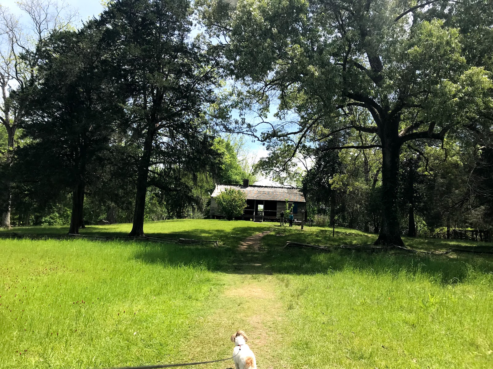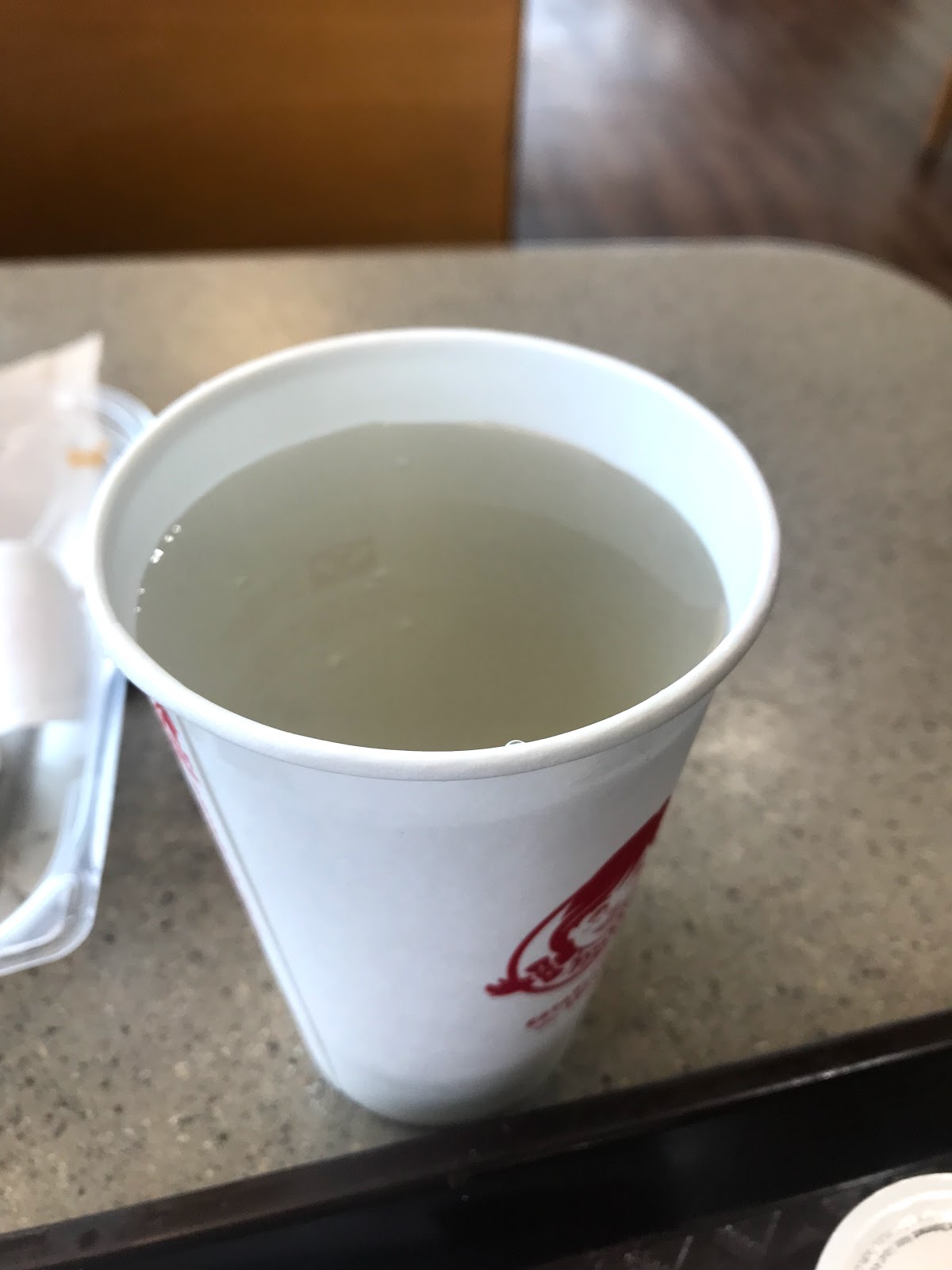
The NTP docent in Clinton had recommended touring several historical homes and mansions in the Natchez area, so I drove into town on Saturday and headed to the Natchez National Historical Park at the Melrose plantation. You can wander around the grounds and all the buildings on your own with the exception of the main house. That is only shown through guided tours. Usually costing $10, I happened to hit it on a “fee free” day, so I got a ticket for the 1:00 tour. After walking the grounds, I had time to get lunch so I went to Wendy’s for a chili baked potato and glass of water. This is the water that came out of the fountain.
Back at Melrose, the Ranger who did the tour was excellent as was the tour of the house. It is totally restored and still contains most of the original furniture. The family who built it and lived there in the 1850’s, the John McMurrans, were slave owners and the house represents that era. Following the Civil War, the McMurran’s wealth had been wiped out and they sold it to the Davis family, whose descendants lived there the next 110 years.
It was mid afternoon by then, and I made my way home to Hanna.
I woke at 3:00 am to the sound of steady hard rain on the roof, and it continued the rest of the morning, drenching everything in the campground. I drove the car over to the office to pay for another night, declaring no one wants to pack up and move out in a pouring rain.
Around noon, the rain stopped and the sun peeked through the clouds, so I drove the Fit into town again and went to the William T. Johnson House, a National Park Service Historical museum. Johnson was a slave born in 1809 and emancipated in1820. He trained as a barber and became an entrepreneur, establishing a barber shop, book store and other land holdings. He kept a detailed personal diary from 1835 until his death in 1851, which detailed life in Natchez, MS. Portions of the journal are on display, as well as much of the furniture and items from the house. It was kind of amazing to think a black man could live such a life in the Deep South from 1820-1851, and become as wealthy and educated as he was.
From there, I went up the street to Rosalie, a private pre-Civil War mansion. The tour cost $15, and was excellent, but they don’t allow photos inside. It has a fascinating history and I recommend you read it at the link above. In 1863, General Grant took possession of it and used it for Union headquarters. Nothing was harmed during their occupation.
After those two tours, I drove back along the Trace to the campground and began my preparations for heading toward home tomorrow.
Wednesday, April 25, 2018
Tuesday, April 24, 2018
Natchez State Park
On Thursday I drove up the campground road beyond the picnic area to the historic ruins of the town of Rocky Springs. The only building still standing is the church, and it is actually still in use, with services held there once a month. The rest of the town is just small bits of rubble with signs explaining what once was there.
From there, I drove into Port Gibson and went to the library to use the WiFi and update my blog. After lunch at McDonald’s, I drove back to camp to begin preparing for departure the next day. I walked around the campground later that evening and asked the camp host if there was water anywhere. She pointed to the hose at the host’s site and said I could use it. In her Mississippi accent, she warned, “The water is yeller, but it don’t hurt you none.” I didn’t need water that bad.
The next morning I pulled out and drove down the Natchez Trace Parkway. I stopped at a couple of markers, Emerald Mound - another Indian site - and Mt.Locust. Mt. Locust was a “stand” on the old Trace where travelers could get a meal and a bed for the night. The buildings were still in good condition and there was info on the slaves who worked the property and served the family.
I left the NTP just north of Natchez and drove to Natchez State Park, where I settled into the campground for two nights. The park is on a lake with two small campgrounds. It was about 70% full when I was there.
From there, I drove into Port Gibson and went to the library to use the WiFi and update my blog. After lunch at McDonald’s, I drove back to camp to begin preparing for departure the next day. I walked around the campground later that evening and asked the camp host if there was water anywhere. She pointed to the hose at the host’s site and said I could use it. In her Mississippi accent, she warned, “The water is yeller, but it don’t hurt you none.” I didn’t need water that bad.
The next morning I pulled out and drove down the Natchez Trace Parkway. I stopped at a couple of markers, Emerald Mound - another Indian site - and Mt.Locust. Mt. Locust was a “stand” on the old Trace where travelers could get a meal and a bed for the night. The buildings were still in good condition and there was info on the slaves who worked the property and served the family.
I left the NTP just north of Natchez and drove to Natchez State Park, where I settled into the campground for two nights. The park is on a lake with two small campgrounds. It was about 70% full when I was there.
Thursday, April 19, 2018
Sightseeing Along the Trace
On Tuesday, after giving Hanna a good long walk, I locked her in Minnie and took off toward Port Gibson. On the way south, I stopped at Magnum Mound, an old Indian ceremonial mound, and Sunken Trace. The sunken trace was quite impressive, where you can walk down and onto the actual path the traders walked, which was worn down by many footprints and natural elements. I only stayed about 15 minutes, but will go back before I leave the area.
I drove on to Port Gibson, which is a small town on the Mississippi River with great historical impact. During the Civil War, the Union took it from the Confederacy, but General U.S. Grant spared the town, declaring it “too beautiful to burn”. There are dozens of old beautiful churches lining the streets, each with its own story. I continued through the town and on to the Windsor Ruins. This beautiful southern plantation survived the Civil War, but was destroyed by fire in 1890. Only the stately columns remain.
From there, I drove north to Grand Gulf Military Monument. Another key strategic location along the Mississippi, General Grant fought several battles to finally take the stronghold in his quest to finally conquer Vicksburg. They have quite an extensive museum and grounds filled with memorabilia from the war, but unfortunately, I got the impression the artifacts were not well cared for. Everything on display had a thick layer of dust, and some of it is exposed to the elements and visitors' touch. But I wandered the grounds and picked up lots of new information about the war in that area.
From there, I drove back to my camp and a pup who was happy to see me.
On Wednesday, I decided to drive up to Vicksburg National Military Park. At the last minute, I downsized my purse contents to a fanny pack, and forgot to put my Senior Pass in. When I arrived at the park, I realized I would have to pay the $15 entrance fee for my mistake. It was worth it, though. I drove the Tour Road around the park, stopping along the way to read about massive battles and view monuments. Vicksburg was the key stronghold standing in the Union's way of complete control of the Mississippi River. Fighting for this city began in October 1862, but surrender of the city would not come until July 4, 1863. Tens of thousands of soldiers died during those nine months, and the National Cemetery on the park site is evidence of those losses. Headstones as far as the eye can see.
The other significant war relic displayed at the Park is the U.S.S. Cairo. This Civil War ironclad warship was sunk during the siege of 1863, where it rested for over 100 years before being recovered and reassembled and opened to public viewing at Vicksburg National Military Park.
I returned to my camp for a couple of days of rest.
Natchez Trace Parkway
Have you ever heard the phrase “drink in the beauty”? I think whoever coined it was driving the Natchez Trace Parkway. The NTP is 444 miles of beautiful road that runs from Natchez, Mississippi to Nashville, Tennessee, following the path travelers wore in the landscape in the late 1700s to early 1800s. Originally traversed by buffalo for hundreds of years, it became well known as a travel corridor for “Kaintucks”, working folks who floated their cash crops down the Mississippi River on wooden flatboats to Natchez or New Orleans. There they sold their goods and the boats and walked or rode horseback toward home via the Old Trace. Today, the NTP is a paved corridor that curves through cool oak, dogwood and evergreen cover, unsullied by power lines or billboards. Just trees, rock, grass, water, brush and road. William Least Heat-Moon said “...to drive the Trace, one sees that highway does not have to outrage landscape.” It's a place to drink in beauty all day long.
Following my change of plans on Monday afternoon, I drove south toward Clinton, where I stopped at the Visitor's Center and museum. The docent there gave me a personal tour and much great information and advice of places to visit as I made my way south. I gathered up the stack of maps and brochures and Hanna and I headed on down the road. We stopped at each pullout along the way where historical information was offered, and finally ended up at Rocky Springs Campground. When I pulled in, I looked for the pay station, but didn't see it, so I flagged another camper and asked where we pay. “Pay?” she said. “No, it's free! Up to fourteen days.” Wow, I drove through looking over all the vacant sites before picking the best available one, and settling in.
There is no cell signal here, but I can pick up about 15 TV stations, including all the major networks. And I've discovered if Hanna and I walk about a mile up the road to the picnic area, I can get one bar of 4G, which is enough to send and receive text messages and emails, and check my social media. I think we will stay here for a few days and drive to Port Gibson, Grand Gulf and Vicksburg in the Fit.
Subscribe to:
Posts (Atom)